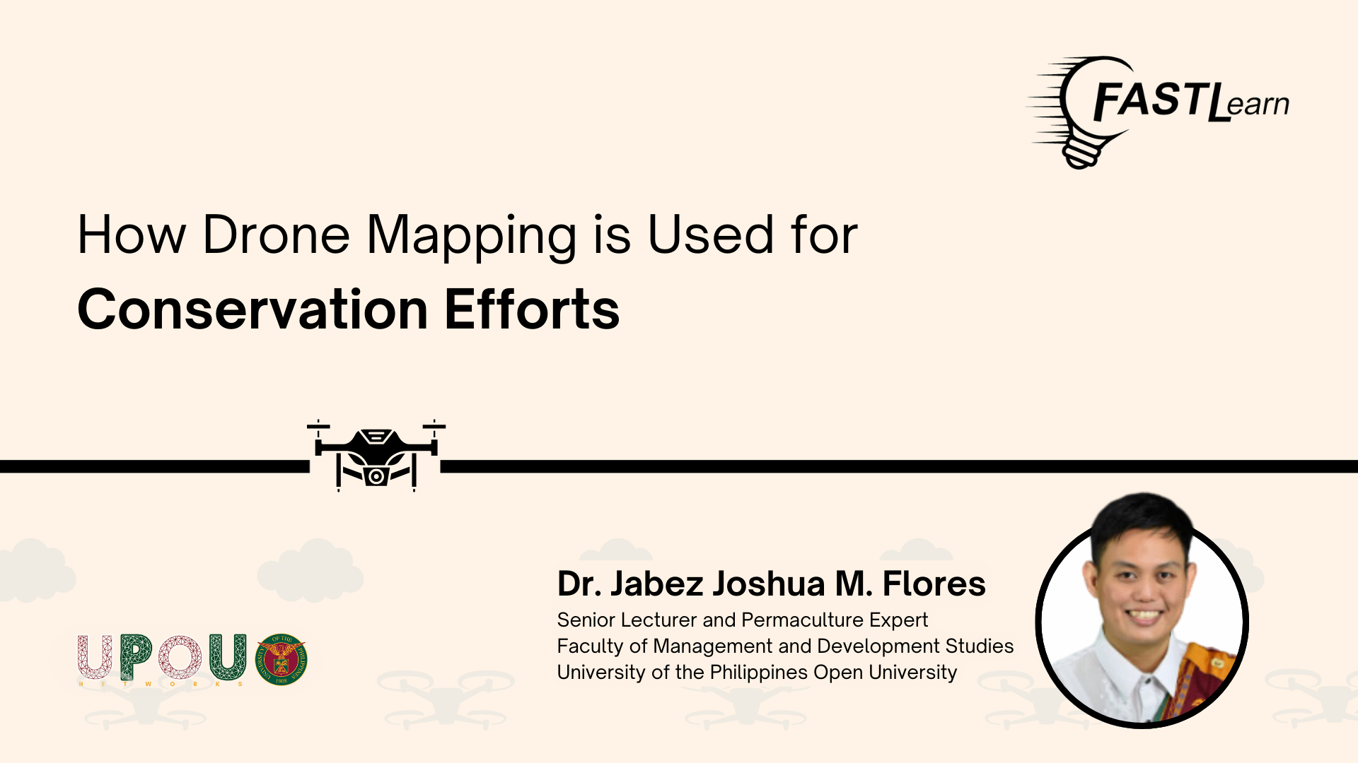
How Drone Mapping is Used for Conservation Efforts and Disaster Response
jino.pulmano2026-02-11T15:28:56+08:00How Drone Mapping is Used for Conservation Efforts and Disaster Response Description: Join Dr. Jabez Joshua Flores, Senior Lecturer and Permaculture Expert at UPOU-FMDS, as he explores how data collected by drones may help to create and develop strategies for conservation efforts and disaster risk management. Related Posts Nothing Found